El Nino may return in 2026 and make planet even hotter / Photo: © AFP
The warming El Nino weather phenomenon could form later this year, potentially pushing global temperatures to record heights.
There is a 50- to 60-percent chance of El Nino developing during the July-September period and beyond, according to the US National Oceanic and Atmospheric Administration (NOAA).
The World Meteorological Organization will issue an update on El Nino on Tuesday.
Here's what you need to know about El Nino and its cooler sister, La Nina:
- Why the name? -
El Nino and its cooler sister La Nina are two phases of a natural climate pattern across the tropical Pacific known as the El Nino-Southern Oscillation (ENSO).
Peruvian and Ecuadoran fishermen coined the term El Nino ("the boy" or "the Christ Child") in the 19th century for the arrival of an unusually warm ocean current off the coast that reduced their catch just before Christmas.
Scientists chose the name La Nina as the opposite of El Nino. Between the two events, there is a "neutral" phase.
- El Nino -
El Nino can weaken consistent trade winds that blow east to west across the tropical Pacific, influencing weather by affecting the movement of warm water across this vast ocean.
This weakening warms the usually cooler central and eastern sides of the ocean, altering rainfall over the equatorial Pacific and wind patterns around the world.
The extra heat at the surface of the Pacific releases energy into the atmosphere that can temporarily drive up global temperatures, which is why El Nino years are often among the warmest on record.
"All else being equal, a typical El Nino event tends to cause a temporary increase in the global mean temperature on the order of 0.1C-0.2C," Nat Johnson, an NOAA meteorologist, told AFP.
El Nino occurs every two to seven years.
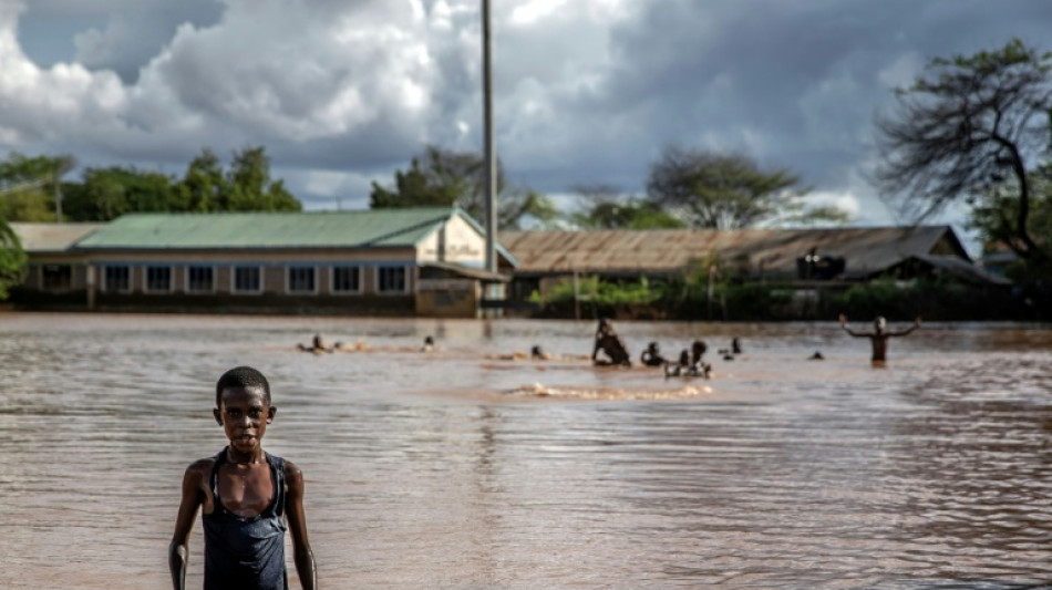
It typically results in drier conditions across southeast Asia, Australia, southern Africa, and northern Brazil, and wetter conditions in the Horn of Africa, the southern United States, Peru and Ecuador.
- Another record? -
The last El Nino occurred in 2023-2024, contributing to making 2023 the second highest year on record and 2024 the all-time high.
Carlo Buontempo, director of the European Union's Copernicus Climate Change Service, told AFP in January that 2026 could be "another record-breaking year" if El Nino appears this year.
However, El Nino's impact would be higher in 2027 than in 2026 if it develops in the second half of this year, said Tido Semmler, a climate scientist at Ireland's National Meteorological Service.
"It takes time for the global atmosphere to react to the El Nino," he said.
"Having said this, there is a risk of 2026 being the warmest year on record even without El Nino, due to the global warming trend," Semmler told AFP.
"2027 would face an increased risk of getting a record warm year if El Nino developed in the second half of 2026," he added.
- La Nina -
The latest La Nina episode was relatively weak and short lived, starting in December 2024 and due to enter a neutral phase during the Februady-April period.
La Nina cools the eastern Pacific Ocean for a period of about one to three years, generating the opposite effects to El Nino on global weather.
It leads to wetter conditions in parts of Australia, southeast Asia, India, southeast Africa and northern Brazil, while causing drier conditions in parts of South America.
La Nina did not stop 2025 from being the third hottest on record.
- New calculation -
The NOAA adopted in February a new way of determining El Nino and El Nino events.
The old Oceanic Nino Index (ONI) compared the three-month average sea surface temperature one region of the Pacific with a 30-year average in the same area.
But as the oceans have been warming rapidly, that old 30-year average can be out of date.
The new method, the Relative Oceanic Nino Index (RONI), compares how warm or cool the east-central Pacific is compared to the rest of the tropics.
The NOAA said RONI is a "clearer, more reliable way" to track El Nino and La Nina in real time.
G.al-Khater--BT